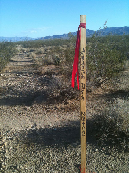
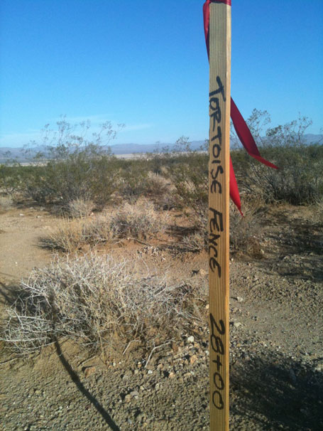
Tortoise Fence Survey Stakes Up
 August 23, 2010 - Ivanpah Valley, California -
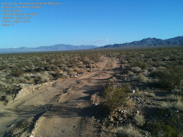
Before the project is even approved by Bureau of Land Management and the California Energy Commission, surveyors have been busy on this desert fan. Thousands of stakes mark out Phase 1 of the outline of the first solar field planned of three. A Construction Laydown Area along Coloseum Mine Road is also marked out, with some stakes labeled "gate."
Stakes line the proposed entrance road to the vast construction site that are indicators of the tortoise exclusion fence that will be the first item to go up, as a horde of contract biologists come to clear tortoises out of the construction areas and keep them off roads that will be full of truck traffic.
We contacted BLM to ask about this, and later received this answer:
"This is to confirm the explanation you heard from BrightSource to your survey stake question during the CEC conference hearing today. There have been multiple surveys conducted at different times since the ROW applications were filed on BLM. In my conversations with BrightSource, they were informed that when they did any survey work or data collections on public land associated with their ROW applications, all vehicle access
was limited to designated open OHV routes or otherwise had to be done on foot. Most recently, Bright Source has been finalizing legal land descriptions to submit as part of their final plan of development for the project. BLM requires applicants to complete a metes and bounds survey showing project perimeters, facilities, and exact acreages. The surveys
also have to be tied to existing rectangular survey monuments in and around the project. I am sure there are many stakes on the ground in support of this surveying effort.
BLM considers survey activities to fall under casual use which is defined in BLM ROW regulations in 43 CFR 2800 as follows:
§2801.5 What acronyms and terms are used in these regulations? Casual use means activities ordinarily resulting in no or negligible disturbance of the public lands, resources, or improvements. Examples of casual use include: Surveying, marking routes, and collecting data to use to prepare grant applications.
§2804.29 What activities may I conduct on the lands covered by the proposed right-of-way while BLM is processing my application?
(a) You may conduct casual use activities on the BLM lands covered by the application, as may any other member of the public. BLM does not require a grant for casual use on BLM lands.
(b) For any activities on BLM lands that are not casual use, you must obtain prior BLM approval.
I hope this helps clarify what has been taking place in the project area. If you have concerns please feel free to contact me again."
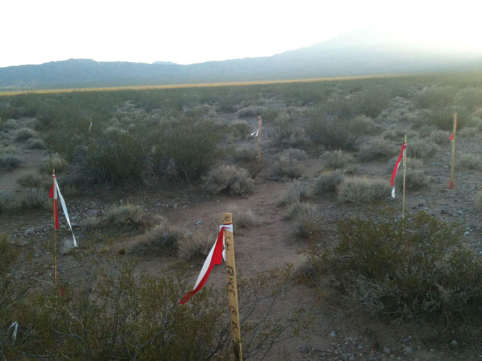
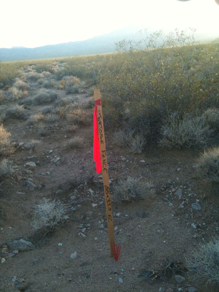
^Stakes that may delineate the Construction Laydown Area.
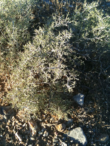
^Rhatany (Krameria sp.), a shrub that greens up after summer rains.
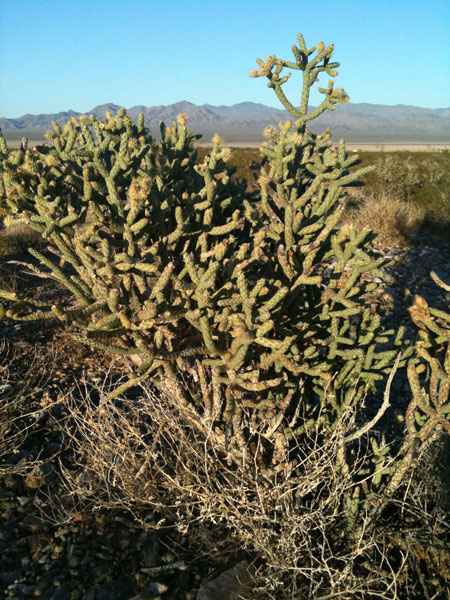
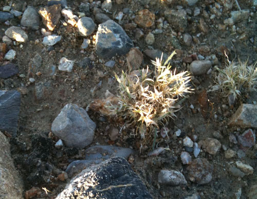
^Pencil cholla (Cylindropuntia ramosissima) on Phase 1 of the project site.
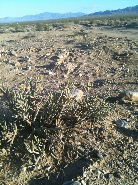
^Pencil cholla with scraped earth around it where the project applicant has built a new road for heliostat pole testing.
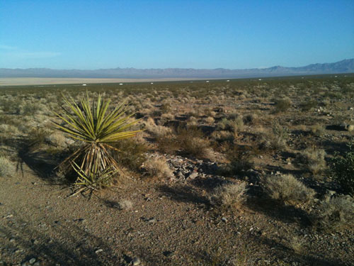
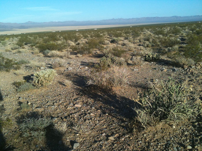
^Phase 1, with Mojave yucca (Yucca schidigera). This would become a solar field composed of 53,500 heliostats with two mirrors each to focus sunlight on a central tower receiver.
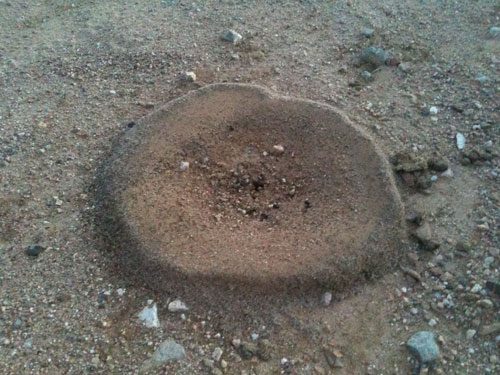
^Harvester ants busy storing seeds underground, mostly Creosote (Larrea tridentata), throwing the chaff in a heap around the entrance.
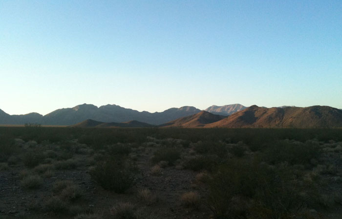
^Sunset looking north over Phase 2. The Stateline Wilderness lies in the distance.
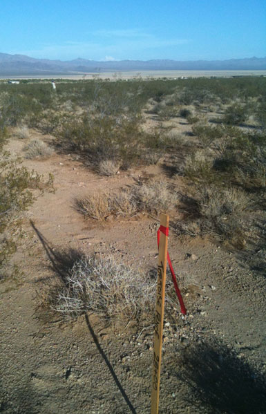
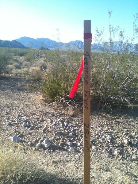
^Tortoise exclusion fence survey stake.
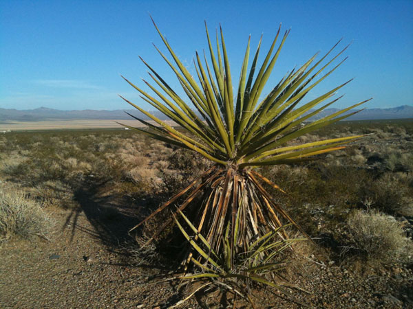
^Mojave yucca.
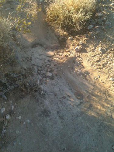
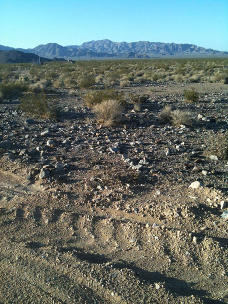
^A summer thunderstorm last week caused washes in Ivanpah Valley to flow some, moving silt and gravel over the new road constructed in Phase 1 for pole testing.
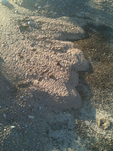
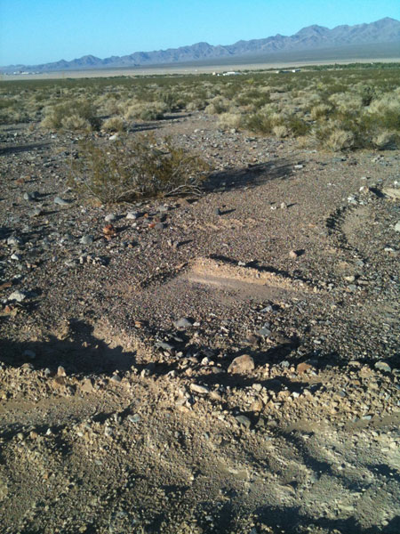
^Soil deposit moved by the recent monsoonal storm. This project area is on an active outwash fan below Clark Mountain.
^New road for pole testing, Phase 1.
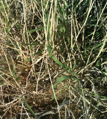
^The recent rains activated growth of tortoise food plants, such as this Big galleta grass bunch (Pleuraphis rigida). This late summer green-up is important forage when tortoises emerge in the fall from the summer sleep underground in burrows.
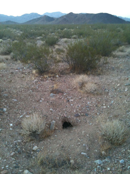
^Tortoise burrow in the proposed Construction Laydown Area. This burrow would have to be excavated and any tortoises translocated out of the project site.
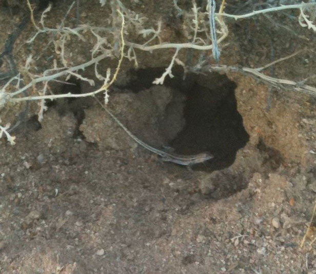
^Other animals use burrows as well on the project site: a juvenile Long-tailed brush lizard (Urosaurus graciosus) pauses before running into a rodent burrow. These lizards are common here, adults climbing the branches of creosote bushes after insects. They are well-camouflaged and thus little noticed. This immature lizard was probably hatched in spring, and spends more time on the ground and underground.
^Silver cholla (Cylindropuntia echinocarpa) and Pencil cholla, Phase 1.
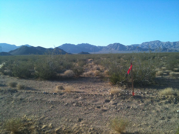
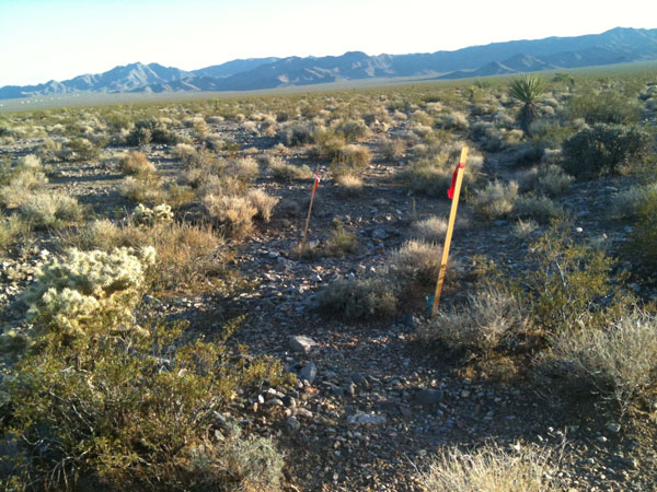
^Tortoise fencing stake along Coloseum Mine Road.
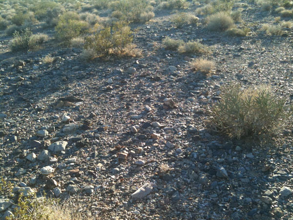
^Desert pavement is fairly common on Phase 1.
^Desert pavement scraped along the pole-testing road.
^Construction of the new road.
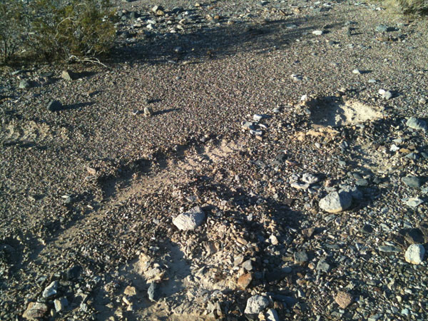
^Desert pavement may take thousands of years to heal.
^Desert pavement with small tortoise-food grasses called Fluffgrass (Dasyochloa pulchella), greening up from rains, and biological soil crusts (black between stones).
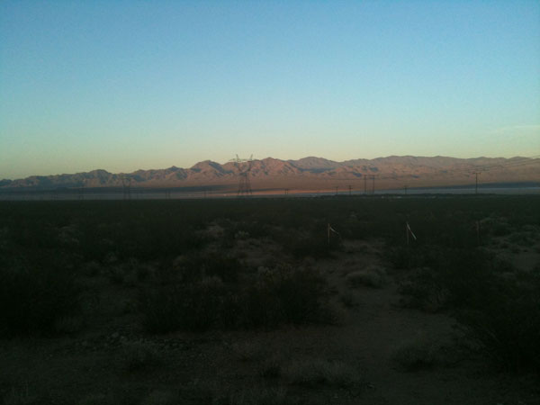
^Sunset from the project site, looking east towards the playa and Lucy Gray Mountains. The transmission line would need to be upgraded.
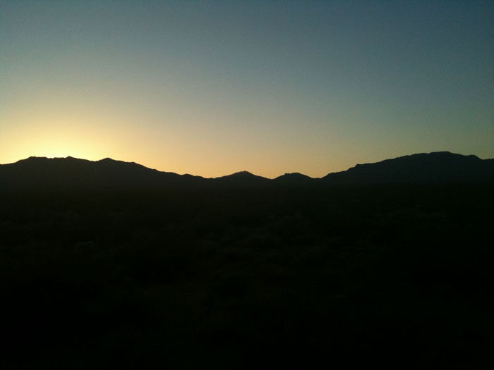
^Sunset over the Clark Mountains.
HOME.....Ivanpah Updates.....Last Spring at Ivanpah...?.....Project Overview