Imperial Valley Solar and Wind Projects Update
December 24, 2015 - Yuha Desert, Ocotillo, Imperial County CA - Our friend Terry Weiner of the Desert Protective Council sent us this report with photos updating the status of recent solar installations, as well as the Ocotillo Express Wind Project in the west side of the Imperial Valley. Other developments include large-scale transmission lines and the border wall along the US-Mexico border.
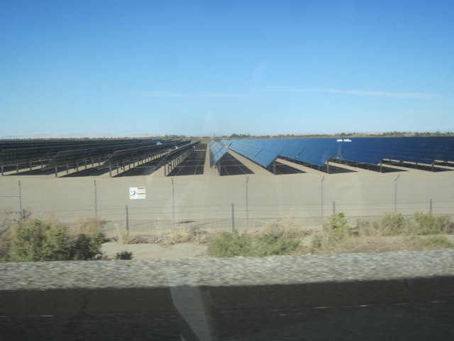
^Imperial Valley Solar 1, by Silver Ridge Power LLC. This 265 MW First Solar thin-film photovoltaic project is built on both sides of Interstate 8, beginning just east of Dunaway Road, about 10 miles east of Ocotillo. The project developer had to obtain a right-of-way across about a half mile of Bureau of Land Management land to connect the project with the Sunrise Powerlink, to sell power to San Diego Gas & Electric Company.
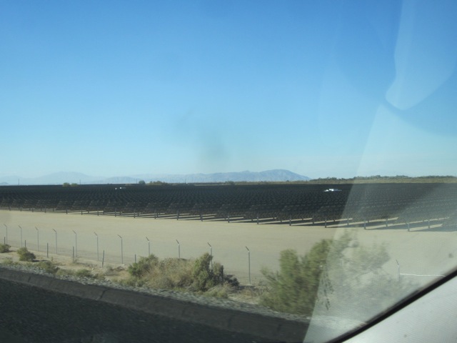
^The First Solar project removed creosote desert as well as some active farmland. The solar panels cover land on both sides of I-8, more than a mile and a half long as one drives. The Coyote Mountains lie in the distance.
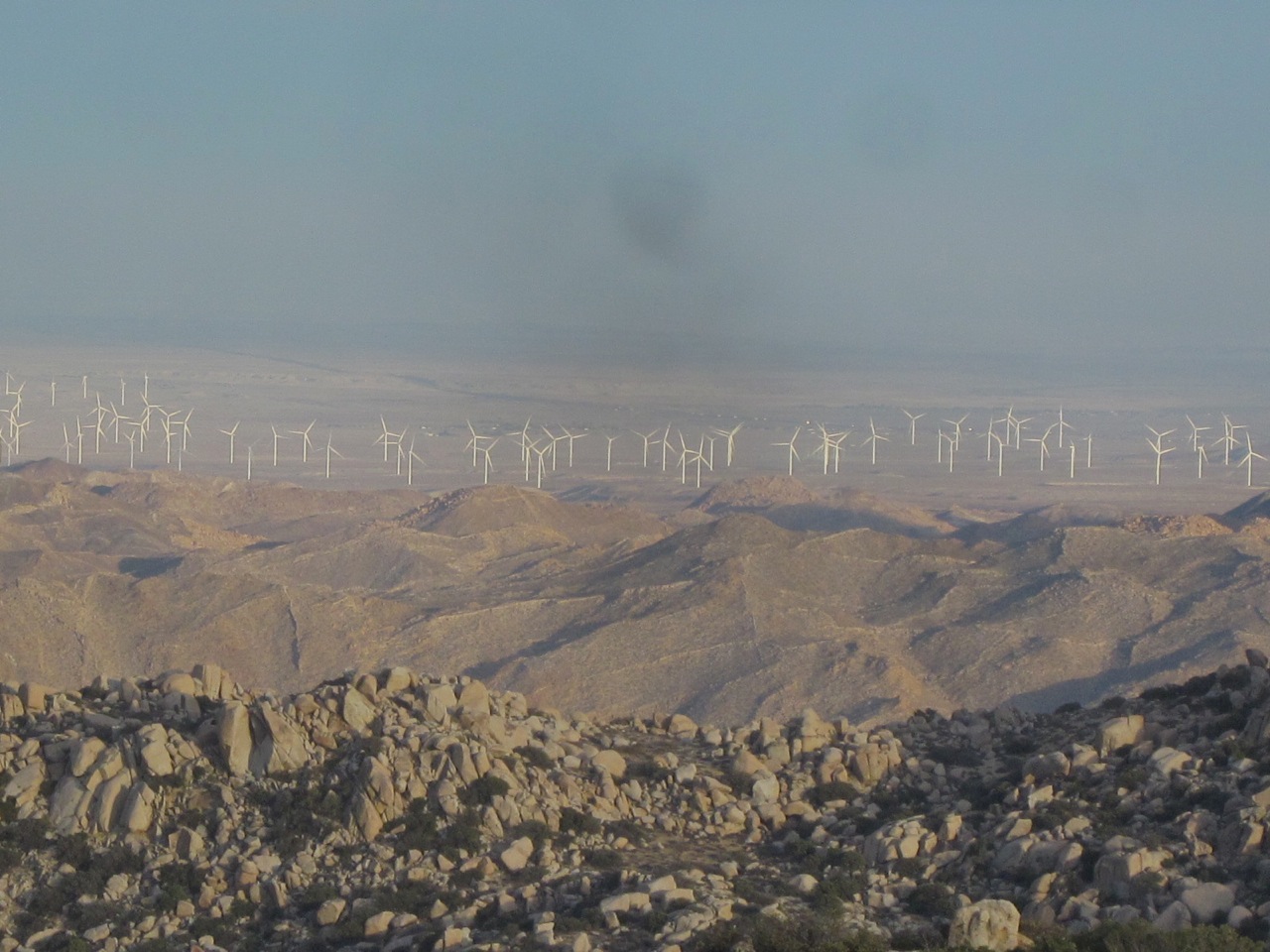
^View of the Ocotillo Express Wind Project from the Carrizo Overlook in McCain Valley near Boulevard. Thirty miles away and 2500 ft or so below, is the the McCain Valley Recreation Area, which includes the Lark Canyon ORV Area, where Iberdrola has permission to install another 62 wind turbines. This is how it looks with your bare eyes, not using a telephoto lens.
![]()
^View from the Juan Baustista de Anza Historic Trail Kiosk on the edge of the Yuha Area of Critical Environmental Concern of the Sunrise Powerlink and the Southwest Powerlink looking south to Mexico where there is a gen-tie from the huge solar project on both sides of Interstate 8, crossing a small portion of the Yuha ACEC. The Southwest Powerlink is carrying fossil fuel power from an American power plant--Intergen--from Mexicali, Mexico.
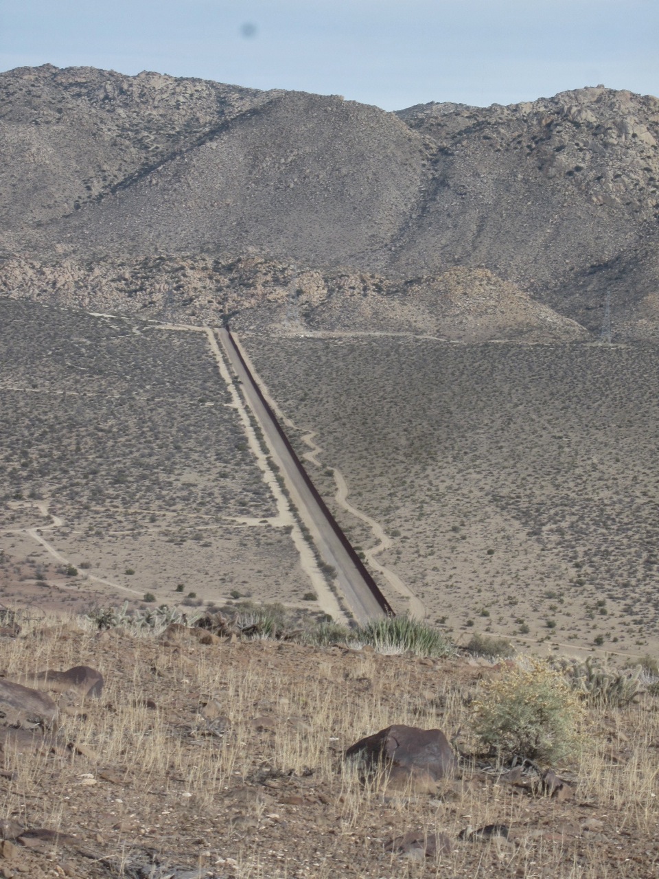
^View from Airport Mesa in the Jacumba Mountains in San Diego County, which is the westerly portion of Bureau of Land Management El Centro's district. That is the border fence bifurcating the high desert ecosystem. The fence ends and and can be walked around coming from north or south but the Border Patrol commonly patrols the area.
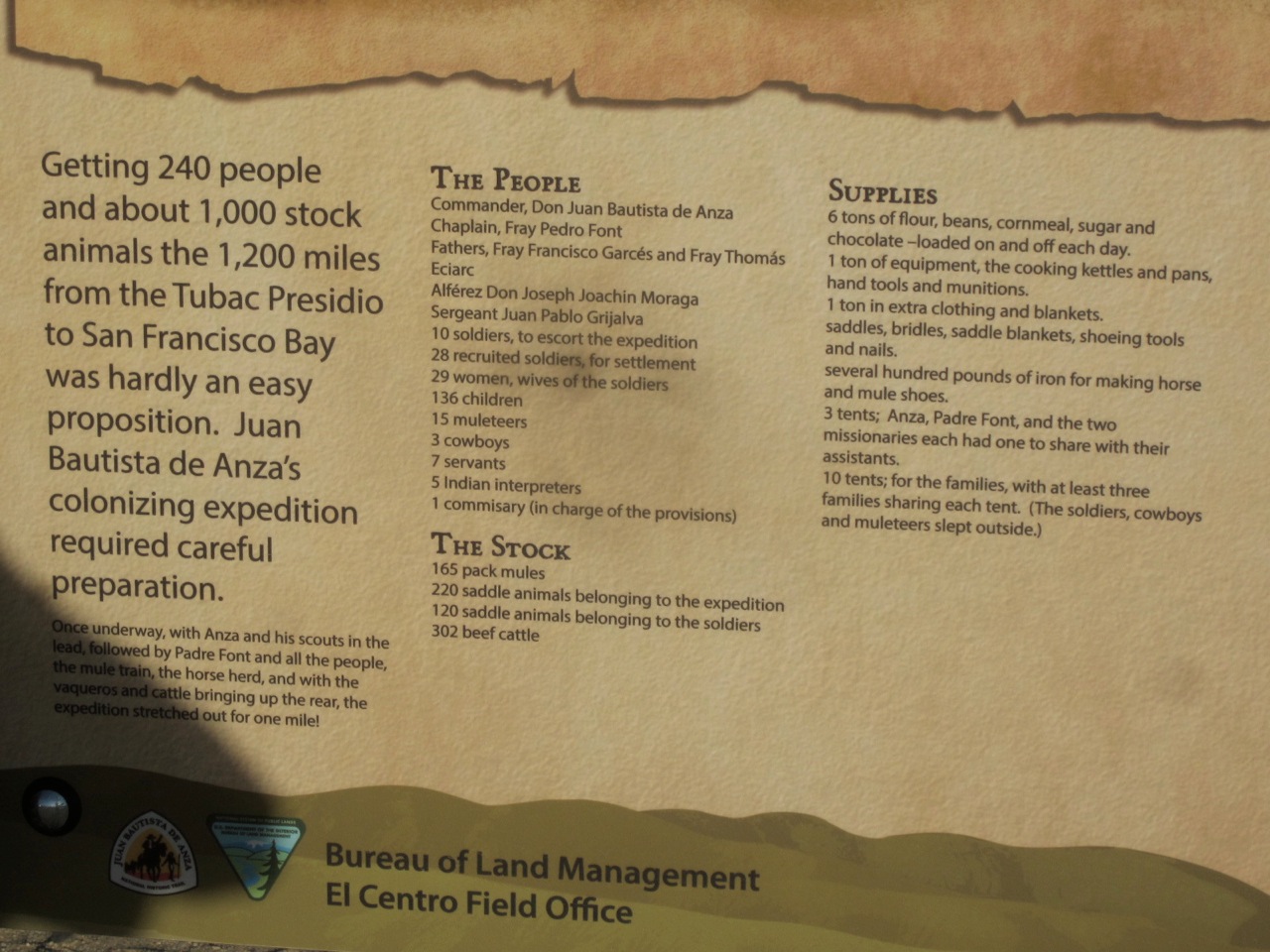
^The De Anza Historic Trail kiosk.
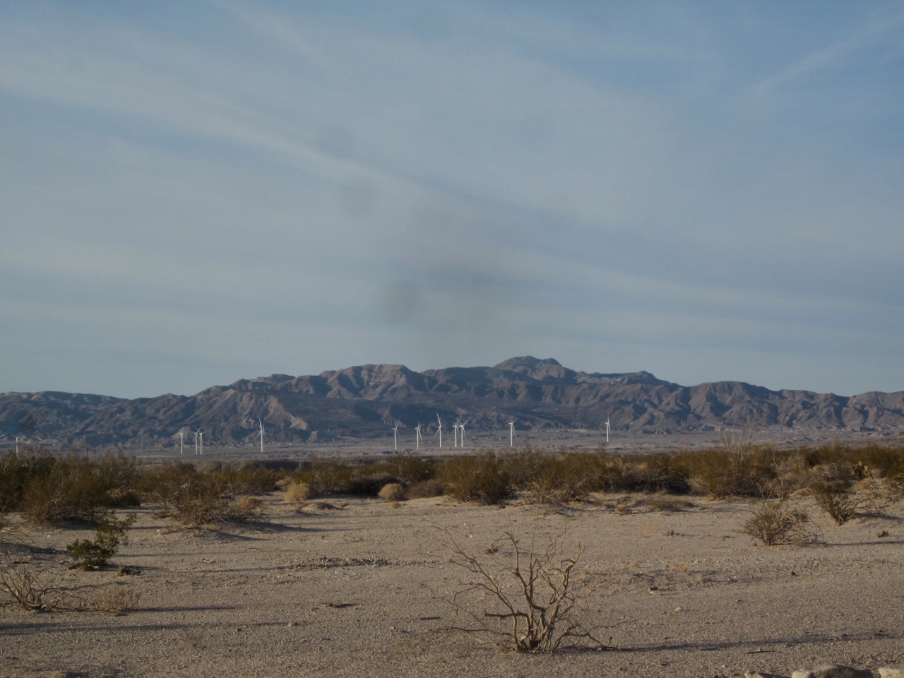
^View of the Ocotillo wind project from edge of the Yuha Area of Critical Environmental Concern looking toward the Coyote Mountains Wilderness at the Bureau of Land Management De Anza Historic Trail Kiosk.
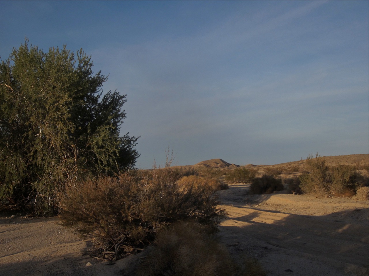
^Venerable ironwood (Olneya tesota) in a wash looking toward Yuha Butte.
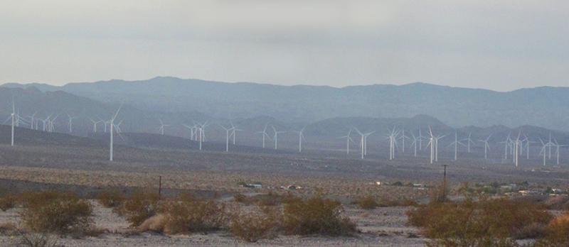
^View looking west from Yuha Area of Critical Environmental Concern toward community of Nomirage and the Jacumba Mountains Wilderness. The Ocotillo Express Wind Project now dominates the desert here.
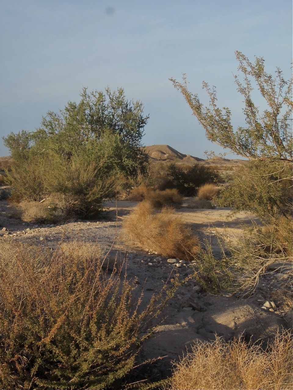
^Yuha Area of Critical Environmental Concern wash looking toward Yuha Butte.
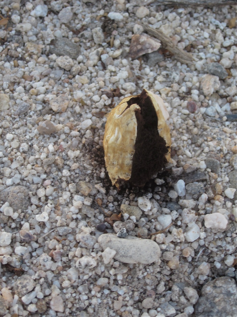
^A desert puffball in the Yuha ACEC.
HOME.....Ocotillo Wind Project.....Flat-tailed horned lizard