Visit to Manzanar National Historic Site and the Proposed Solar Project Nearby
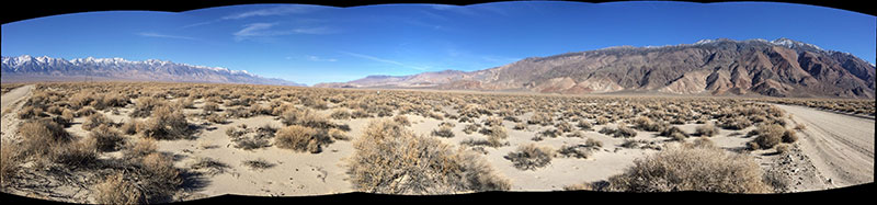
^Panorama of the solar project site proposed by Los Angeles Department of Water and Power (LADWP). The Sierra Nevada range lies on the left, panning across the Owens Valley to the Inyo Mountains on the right. The Manzanar-Reward Road is visible on both sides as we swept the camera across the valley creating a distorted view (the road is actually straight west-to-east). The entire flatland here would be bulldozed for a utility-scale solar power plant, the Los Angeles Department of Water and Power Southern Owens Valley Solar Ranch.
January 2, 2014 - Inyo County, CA - Basin & Range Watch visited the site of the proposed solar project in southern Owens Valley in December 2013. What we found was a wild and relatively undisturbed valley ecosystem of arid shrubland on the sandy rolling valley floor east of the Owens River. Even in the cold of winter, numerous kangaroo rat and other rodent tracks and burrows were present, and even a few lizard tracks. Coyote trackways scittered across the sands. We plan on revisiting this place next spring to see what wildflowers and reptiles abound here in warmer weather.
The proposed Project would consist of a 200 megawatt (MW) net generating capacity solar energy facility using solar photovoltaic panel modules and associated infrastructure. The power produced by the proposed project would be conveyed to the power grid via interconnection to LADWP’s existing 230 kilovolt (kV) Inyo–Rinaldi transmission line, which is located along the western perimeter of the Project site. All the electricity would go to the City of Los Angeles.
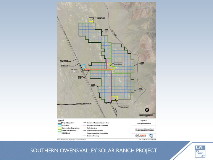
^Project map, located along the base of the Inyo Mountains, between Manzanar-Reward Road and Mazourka Canyon Road.
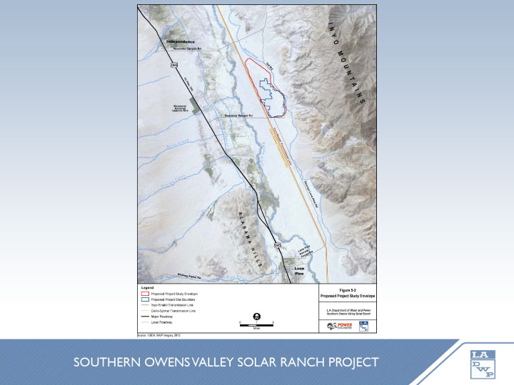
^ General location map in the Owens Valley between Independence and Lone Pine. Manzanar National Historic Site lies to the west of the project site (the gray block in this map is slightly off the true location which is more aligned with Manzanar-Reward Road to the south). Maps from the LADWP PowerPoint presentation PDF from August 2013.
See http://inyoplanning.org/projects.htm
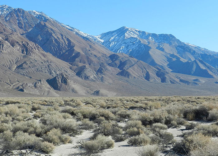
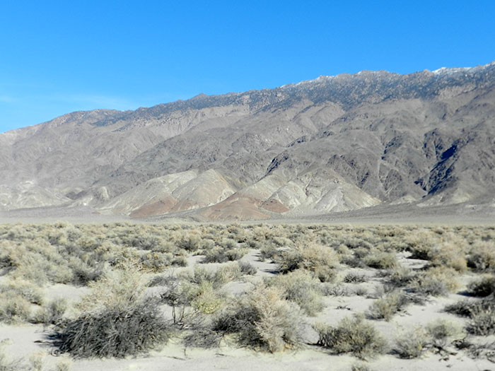
^View of the snowy Inyo peaks from the project site. Greasewood, shadscale, and four-wing saltbush are dormant in the arid cold season.
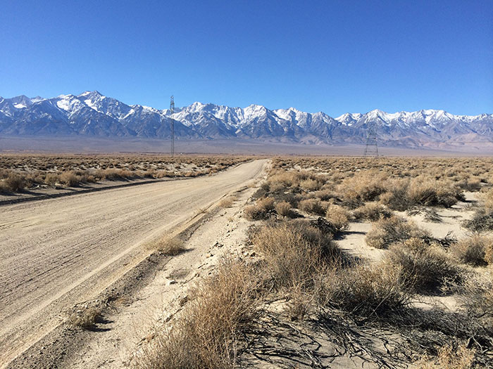
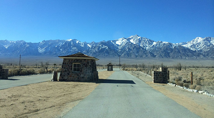
^Manzanar-Reward Rd along the southern boundary of the proposed project, looking west towards Manzanar National Historic Site and the Sierra Nevada.
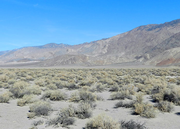
^Arid but thriving desert scrub on the project site. looking north along the Inyo Mountains.
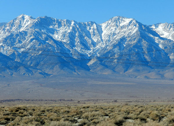
^Sierra Nevada view from the solar site, looking through the existing transmission line.
^Inyo Mountains view.
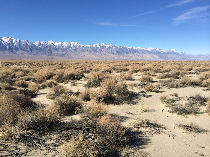
^Sierra view.
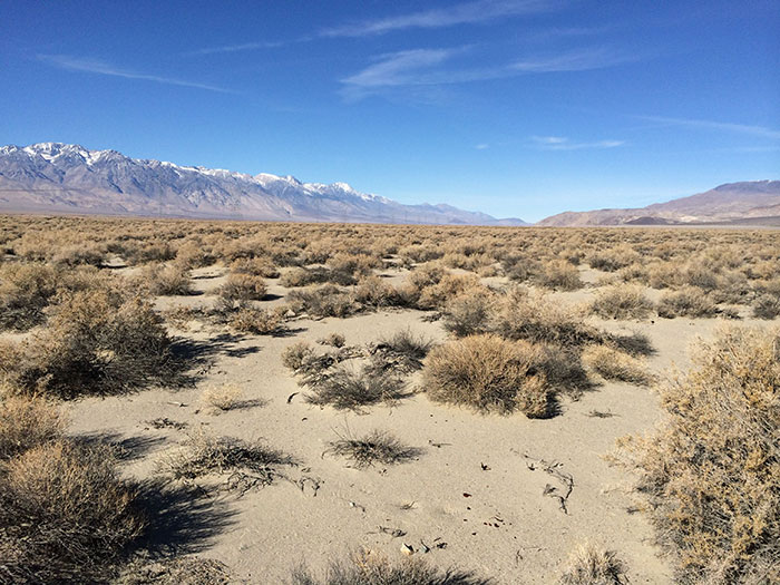
^This would be bulldozed for the solar power plant. Looking northward up the Owens Valley.
Manzanar National Historic Site
Lying along Highway 396 in Inyo County, the historic internment camp during World War II houses more than 11,000 Japanese-Americans in 1942. The site closed as the war ended in 1945. Members of Basin & Range Watch visited the park unit in December of 2013 to investigate the historic wide open and very rural nature of the landscape around the camp.
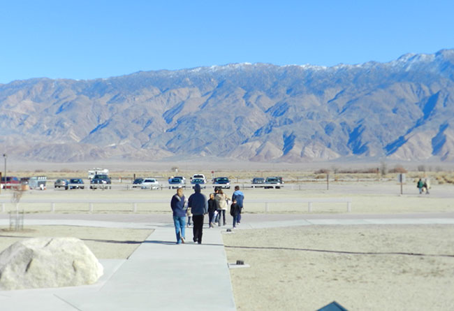
^The busy visitor center parking lot, looking east towards the Inyos. The vast solar panel field would be visible from here at the base of the mountains.
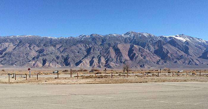
^Broader view from the visitor center looking east towards the Inyo Mountains and project proposal.
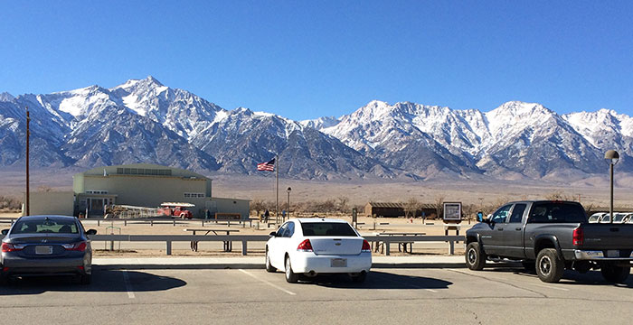
^Looking west towards the Sierra Nevada from the visitor center.
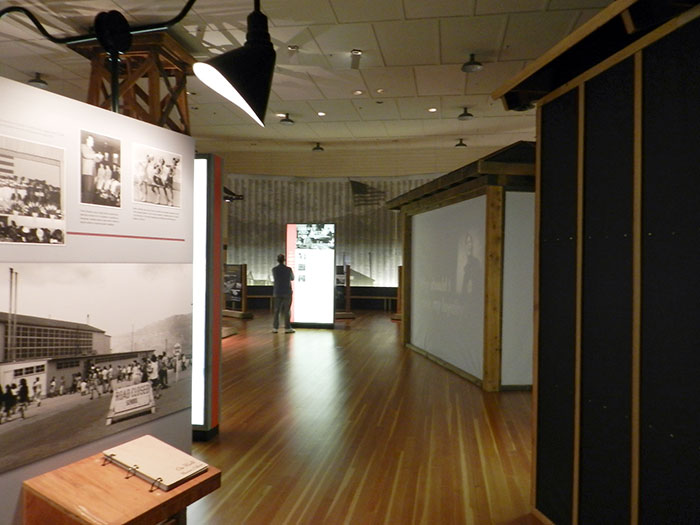
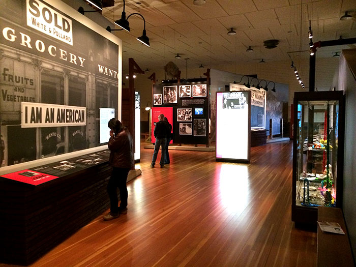
^Visitor center interior with exhibits.
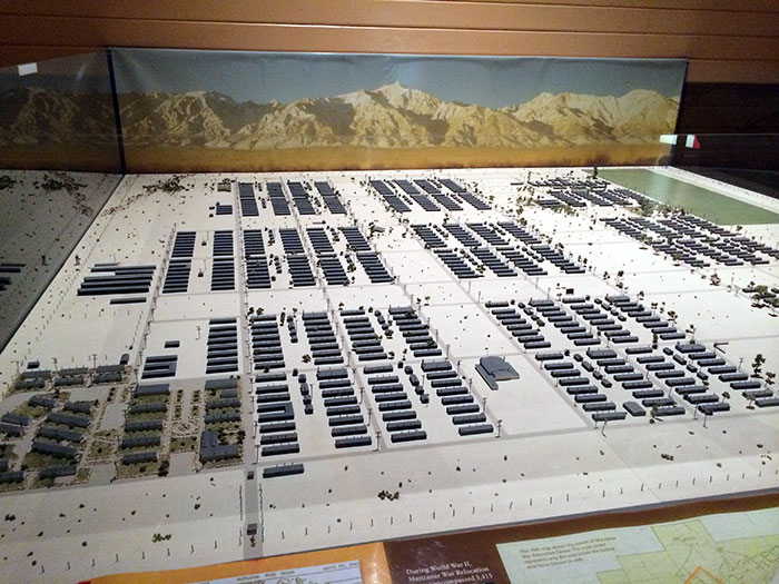
^Model of the internment camp in the early 1940s.
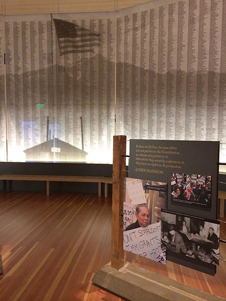
^Exhibits.
^Visitor center.
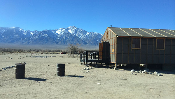
^Historic houses at Manzanar National Historic Site.
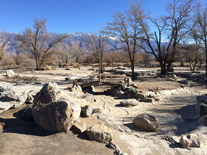
^A beautiful historic garden on the camp grounds, with water features and a bridge, looking east towards the Inyo Mountains.