Impacts of Construction on the Desert
Ocotillo, California - June 2012. These photos were taken by local residents and concerned citizens to document the numerous compliance violations by Pattern Energy, and how this wind project is destroying the desert. Bureau of Land Management has done a poor job of keeping the wind project in compliance.
But first, the original desert:

^Panorama of the one part of the site, pre-disturbance.
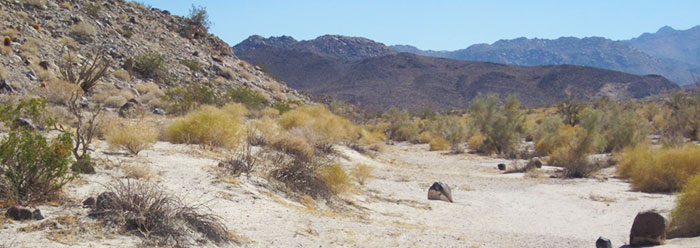
^Looking northwest from where the project has scraped desert for the substation, toward the Inkopa Mountains.
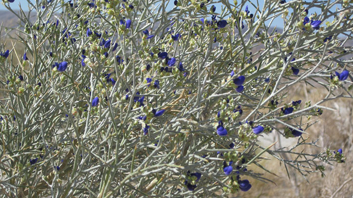
^Smoke trees blooming in the washes.
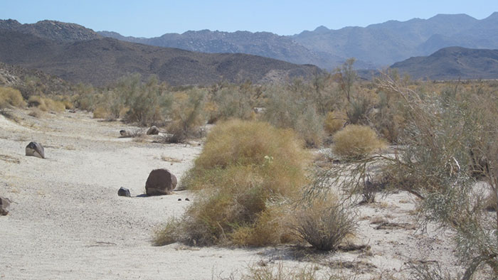
^Smoke tree and cheesebush plant community in broad wash coming out of the alluvial fan.
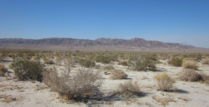
^Looking toward the southeast and the Coyote Mountains. The construction yard is in the distance about a quarter mile away from it.
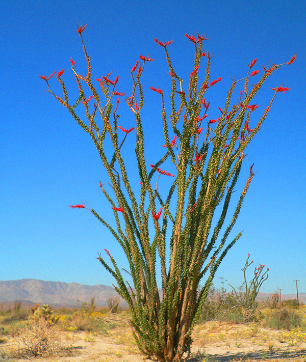
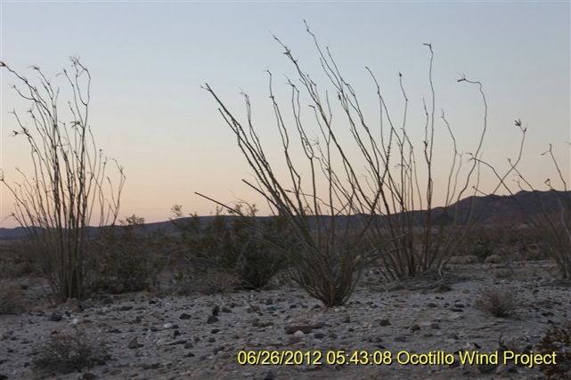
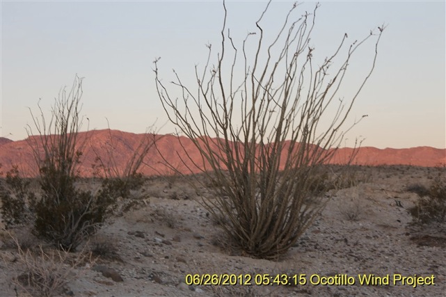
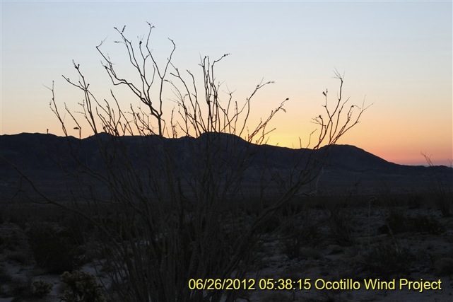
^Ocotillo in bloom on the project site.
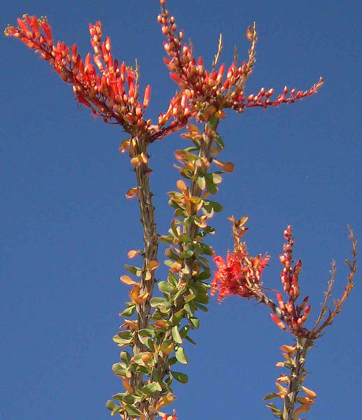
^Ocotillo blooms.
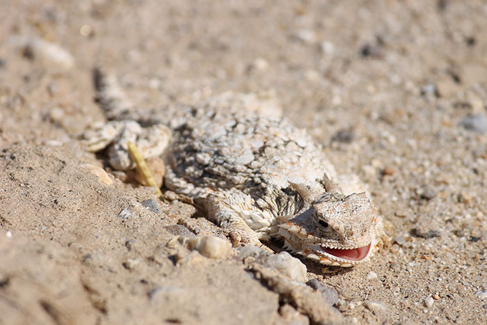
^This Desert horned lizard (Phrynosoma platyrhinos) was found on the project site.
^Cholla garden on the project site.
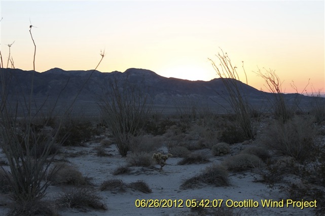
Wind Project and Substation Construction

^Ready for the next work day. The area is graveled. Gravel will be removed after construction.
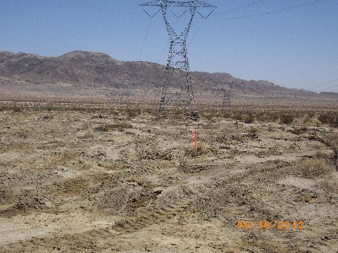
^ Pattern Energy adding on to San Diego Gas & Electric substation 565 feet to the North.
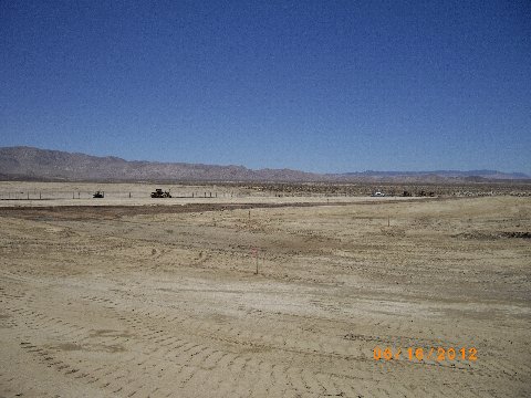
^The new almost completed substation, it's huge. Berms to 15' high.
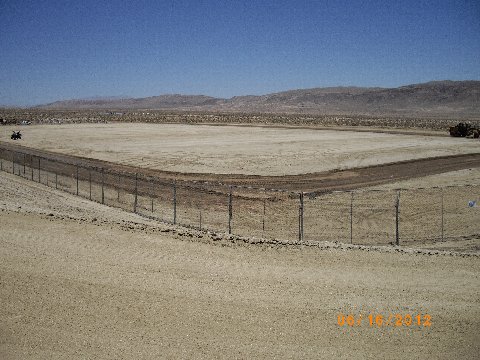
^ Standing on southeast SDG&E berm facing northwest.
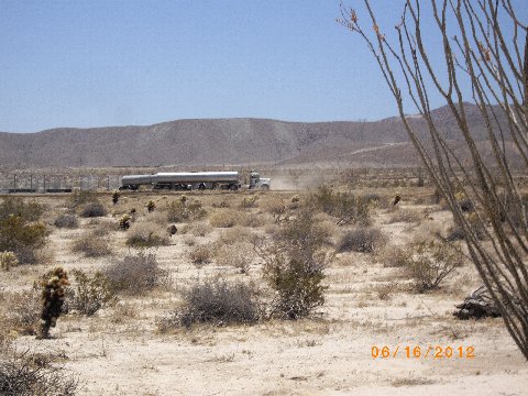
^7000 gallon water trucks dumping into a constructed pond, notice the dust.
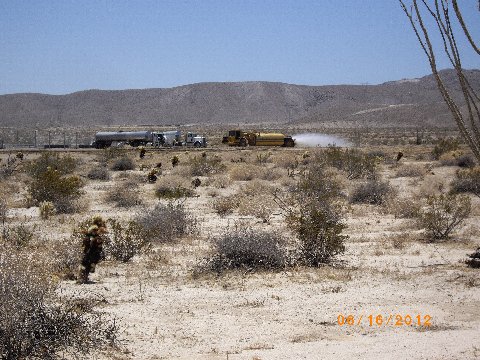
^Water truck.
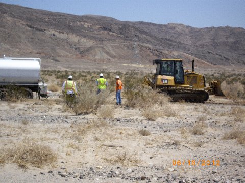
^Stuck water truck being pulled out with a bulldozer in the desert.
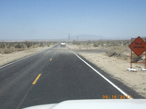
^Dust and dirt on Highway S2 as trucks pull out of lay down yard.
^Wind project signs.
^Substation location. Adjacent to the new Sunrise Power Link. Disturbed area is just under 30 acres. About half is in use, the balance, on the other side of the cranes, has been scraped.
^Substation construction equipment.
^The post and yellow cord is one corner of a small area roped-off for protection. Presumably it's an arch site, or rare plant site.
^Another view of the area with protective roping.
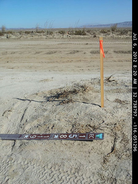
^The graded road from stake to stake survey disturb limits is 81 feet wide at the intersection of BLM Routes 119 and 158. That is over double the width listed for roads in the Final Environmental Impact Statement. Onlookers stopped the workers in trucks from expanding a road within the buffer limit of a burrowing owl burrow.
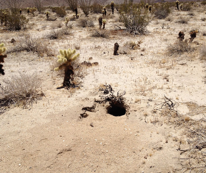
^Burrow used by Burrowing owl. The white owl scat indicates it is active. At certain times such as sunset the owls can be seen flying out of the hole. Heavy equipment building a road was too close.
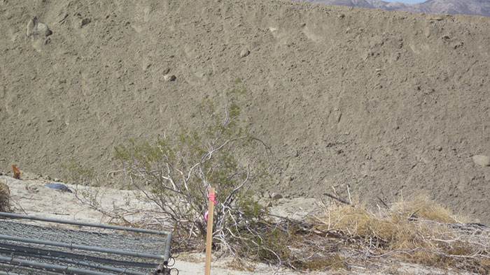
^10 foot wall of dirt around the 30 acre area Pattern is grading for construction of SDG&E substation. This is just north of BLM route 118, west of Highway S2. See 4-foot tall creosote and 3-ft stake for scale. The slice of mountains viewed at top right are the Coyote Mountains on the east side of S2.
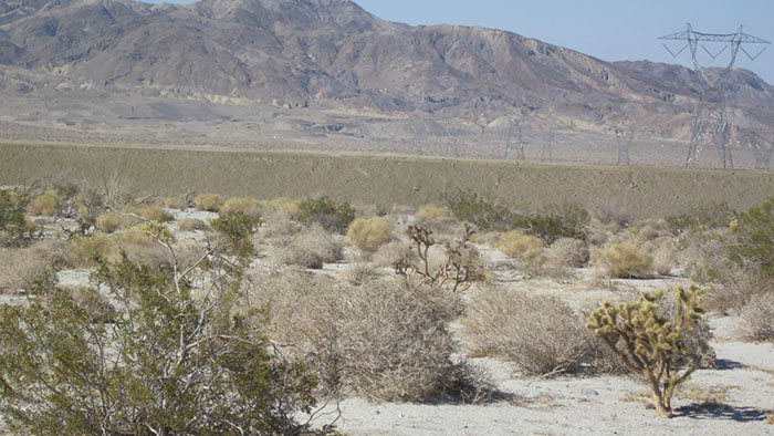
^The dirt berm on the northwest side of the 30 acres project workers have been grading and grading for a couple of weeks now.
^A fifteen foot wall of soil built on one side of the substation location. The bottom is about five feet below grade.
^Rocks and boulders gleaned from the site. Perhaps this will become rip rap.
^Scraped area.
^Lopped off indigo bush plant.
^Result of scraping for the substation: massive ocotillo knocked down.
^Destroyed ocotillo.
^Ocotillo.
^Bulldozed ocotillos and chollas.
^Trampled desert surface.
^Scraped area. Another pile of boulders retrieved from the site, in the distance.
^Some of the unused substation area that has been scraped.
^Rolls of rice straw wattle.
^This will become road/truck access, probably to a turbine site. The stake says Road Centerline.
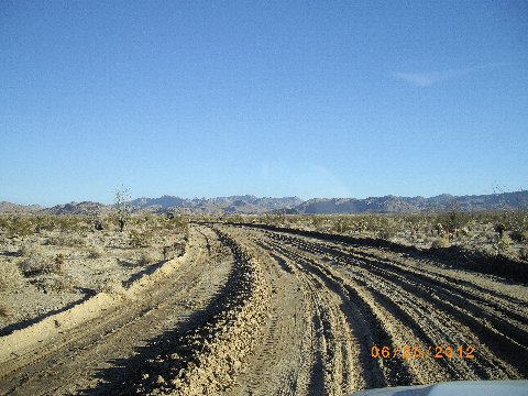
^Road to access wind turbine site, fragmenting the desert.
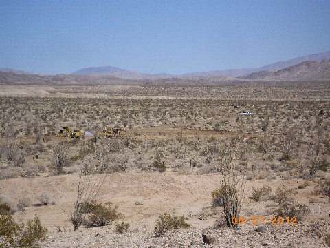
^In the distance a new pad for a single turbine can be seen bladed into desert vegetation, with machinery.
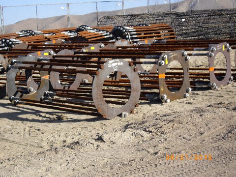
^Turbine tower foundations stacked and ready for placement on the project site.
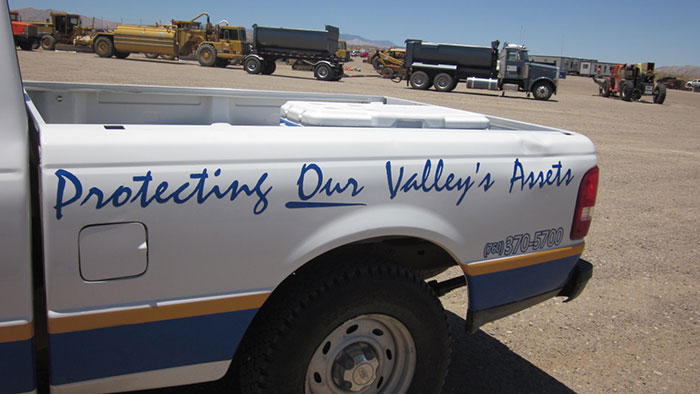
^Security truck.
Tribal Wake
Many people traveled many miles to be present all night with the tribes and bear witness to the sorrow and injustice of this project.
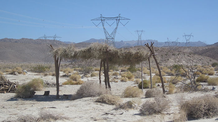
^Quechan Ramada with Arrow weed-thatched roof from the 5 day vigil held in June, just south of the location of the substation. Pattern Energy shifted the pad for the switcher station based on the discovery of additional cremation sites. But what about the potential cremation sites that have already been bulldozed over? You can see the sides of the wash in this photo. The flow of this wash is blocked now by the pad construction and wall of dirt.
Eight Tribal Nations Mourn Losses at Ocotillo
By Miriam Raftery
June 24, 2012 -- A sliver of moon and a spangle of stars shone down on the Ocotillo desert last night, where representatives from eight tribal nations joined in ceremonies to honor their ancestors. Hundreds of people from across the southwestern U.S. came to mourn the desecration of Native American sacred lands, cremation sites and the natural environment that is now occurring on public land.
As twilight melted into darkness across the shifting sands and jagged ridgelines, the night’s silence was broken only by the whistling of the wind and the cadence of ancient Native American songs unchanged for the past 10,000 years. But that way of life—and the peaceful presence of this place--may soon be gone forever.
By day, bulldozers and heavy earth-moving equipment are destroying this fragile desert environment as construction moves relentlessly forward on Pattern Energy’s Ocotillo Express wind facility.
Barring a court order or some other action to stop the project, soon over 100 wind turbines each some 45 stories high--taller than the Statue of Liberty--will consume a desert that before was formerly pristine. Lights to warn off air traffic will penetrate the night atop the towering turbines, each with a blade sweep wider than a football field.
Concrete foundations, each 50-feet wide by 8 feet deep or more, will occupy even more terrain and will remain here forever, even after the project may be decommissioned someday. There are also 42 miles of roads being built, power lines, a substation, and more. ...........
Read more at: http://eastcountymagazine.org/node/10162
^Ramada constructed by Native Americans about a month ago, during a protest.
^Reminder of the land status. This is north of the site on highway S2, just south of the crossing into Anza-Borrego State Park.
^Signs in the town of Ocotillo.
^"Restoration" of the desert? One of the nearby Sunrise Power Link towers. The only sign of habitat restoration was this single transplanted Ocotillo. The entrance is blocked with yellow rope.
