Wind Project Withdrawn
August 2, 2013 - According to the Bureau of Land Management, the company RES withdrew their application for the Granite Wind Project located near Apple Valley, CA.
The reason is golden eagle nests that were located close to the project. A mitigation solution was not found.
Threat to Undisturbed Desert Range
This poorly-sited 84 megawatt (MW) wind project would place 28 giant steel turbines, each a 1.5 or 3.0 MW turbine, along a roadless ridge on a West Mojave mountain range that has recreational and scenic value to surrounding communities. The project proponent, Renewable Energy Systems (RES) already has wind projects in the Tehachapi area. The Bureau of Land Management Right-of-Way would occupy 2,756 acres, with a claimed permanent disturbance area of 109 acres, although temporary construction disturbance and lingering edge effects would be greater. The project would produce 185,000 megawatt-hours per year.
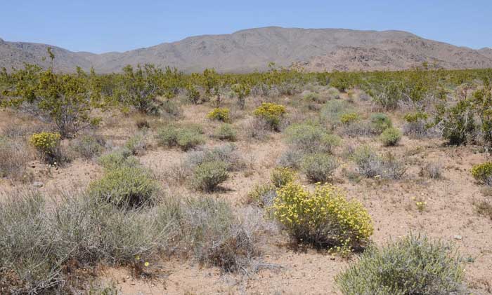
We visited the area in May and were impressed at how pristine this mountain range is. There are few dirt roads, and off-road use is quite low and kept on established trails. Some Chukar hunting occurs, but we found no evidence of sheep grazing which ravages so much of the West Mojave. The area is in San Bernardino County, California, near the towns of Apple Valley and Lucerne Valley.
Southern California Edison (SCE) is proposing a new substation on private land, and from there interconnection to an existing 230 kilovolt (kV) transmission line. A new approximately 5 mile long transmission line would have to be built from the project to the new substation.
RES is not seeking American Recovery and Reinvestment Act grants, although a representative from the company said they hope federal incentives would be approved later. At the May 20, 2010 workshop in Lucerne Valley, RES said it would pay $6.5 million in state sales tax, and $15 million in total property taxes to the county over the lifetime of the project (an assessment on physical accoutrements on federal land). 55 construction jobs would be generated, although RES admitted only some would be local, as special expertise would be needed and workers would come from other parts of the U.S. Local jobs would mostly be road construction and electrical. The company said it would hold a job fair six months prior to construction. Up to 16 long-term direct and indirect jobs would be generated.
The Barstow BLM office said it currently has 16 wind applications, two of which have Plans of Development in (Granite Mountain and Daggett Ridge), and 20 solar applications. The West Fry wind project is in limbo due to possible Twentynine Palms Marine Base expansion plans. "We are always getting new applications," commented one BLM employee. Yet many applicants go away, whether from financing issues or conflicts with Department of Defense expansion plans or airspace.
BLM plans on issuing its Record of Decision in October, 2010. The company hopes to start in 2012, largely dependent on SCE, with availability in 2013-2014.
Public comments are due July 1, 2010 on the Draft Environmental Impact Statement. The Final EIS will come out in August or September. Send Comments to the Barstow BLM.
Ask the BLM to chose Alternative 3 which proposes to amend the California Desert Conservation Area Plan to specify that the site of the proposed project is unsuitable for wind energy development.
BLM should also analyze an alternative that designates the Granite Mountains an Area of Critical Environmental Concern for the rare Ford's Indra swallowtail which breeds there.
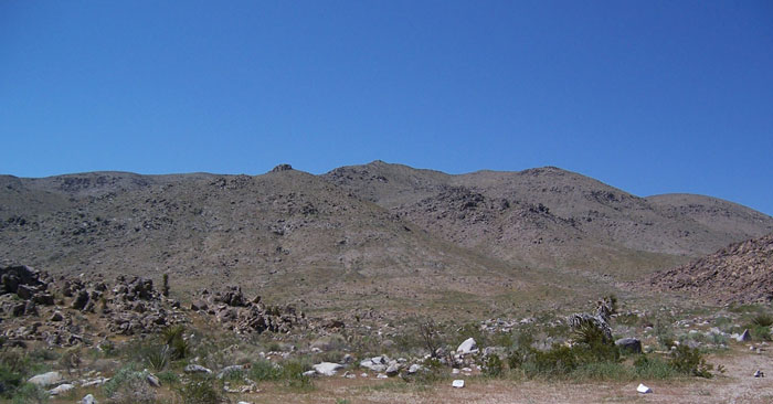
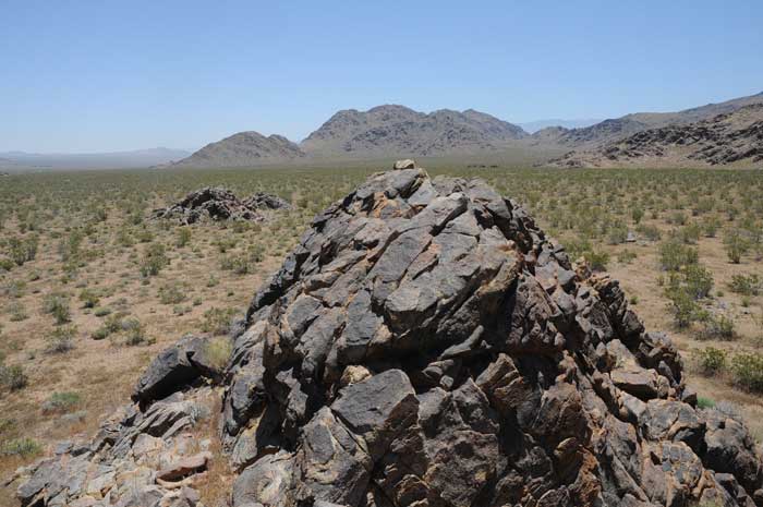
^The pristine ridge of Granite Mountains that would have a row of turbines. (Photo by Dennis Morrison)
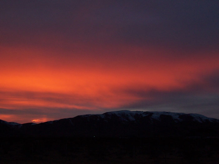
Sunset over the Garnite Mountains. (Photo by Dennis Morrison)
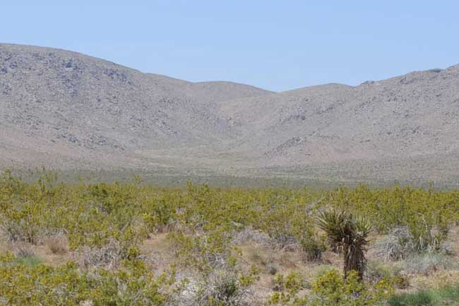
^The main access road would be graded through this untouched valley with creosote-bursage desert and Mojave yucca. The new 4.4 mile road would go up the canyon to get to the ridges where 400-foot tall wind turbines would be placed. It would be a hardened dirt road or gravel to handle heavy truck traffic. Dust palliatives would be placed on the surface. Today the place is pristine with no roads up this canyon. The project would need 12.7 miles of new roads on public lands and 3.8 miles on private lands.
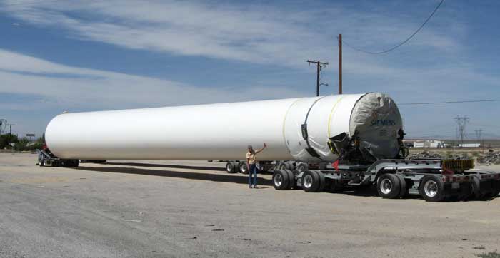
^Many do not realize the size of these turbines. This lower tower component would have to be trucked up delicate mountain canyons. This is a Siemens turbine tower in part. Try to imagine this truck going up into these beautiful mountains. A lot of disturbance will have to be done to make the access roads really accessible.
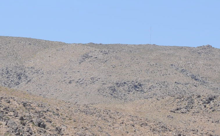
^Metrological tower to measure wind on the Granite Mountain ridgeline. Forty-foot wide roads would have to be graded/blasted into this pristine mountain.
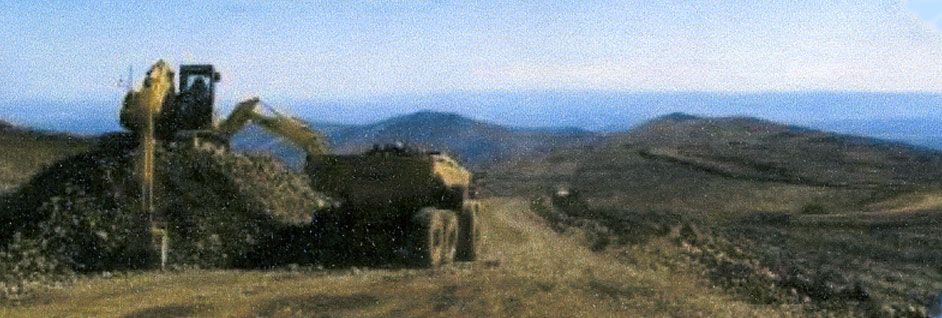
^Road-building on a mountain to place wind turbines.
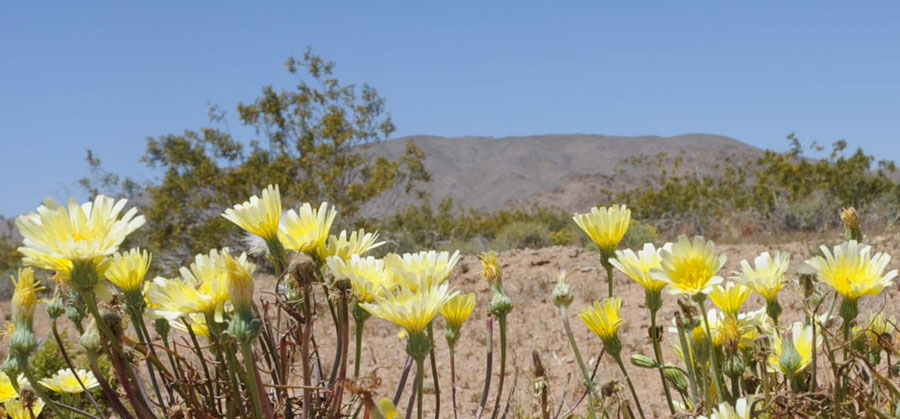
^Desert dandelions in May 2010, with the Granite Mountains in the background. This ridge would be covered with turbines.
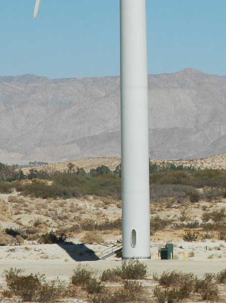
^Base of 400-foot tall wind turbine at the Edom Wind Project near Palm Springs. Bases of these massive turbines take a huge cement foundation. We asked BLM where the water will come from to make the cement? This has not yet been determined surprisingly. It could be pumped groundwater, location to be determined (a big impact in our desert), or perhaps the Morongo pipeline, treated water often used for construction. This should be analyzed in the DEIS but is not. A 361 by 361-foot concrete batch plant would be located nearby.
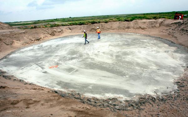
^Cement base for a single wind turbine. This will be a huge impact to water resources in the desert, as well as the ridgeline of the mountain which is in pristine condition. According to the EIS/EIR the foundations will be reinforced concrete down to ten feet into the ground, disturbing about 2 acres temporarily, and 50-60 feet wide permanently.
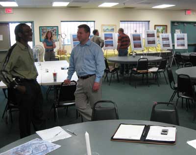
^May 20 workshop in Lucerne Valley with BLM and the applicant RES. Many residents of the area made comments that the mountain was beautiful, and people will not want to go up there anymore. The natural place would become industrialized. Roads would be widened, the mountain blasted to put in turbine foundations. "This will cause a big visual impact," said one local man, "It will be ugly as sin!"
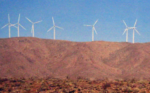
^Computer simulation by RES of the turbines on the Granite Mountains. Rural communities and the Apple Valley town council are largely opposed to this project. Concerns raised are about visual issues, property values, community values, access issues, biological impacts, and cumulative impacts, according to BLM. No off-site alternatives were analyzed in detail, although an alternative site was proposed in Johnson Valley. Nor were alternatives analyzed that would have smaller turbines, or the removal of certain turbines from the most visually noticeable spots. BLM claimed impacts would still be significant.
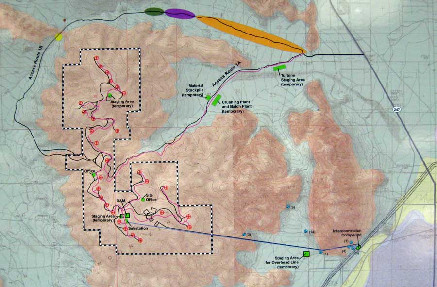
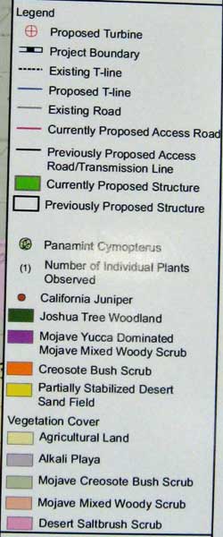
^Project map. See key below.
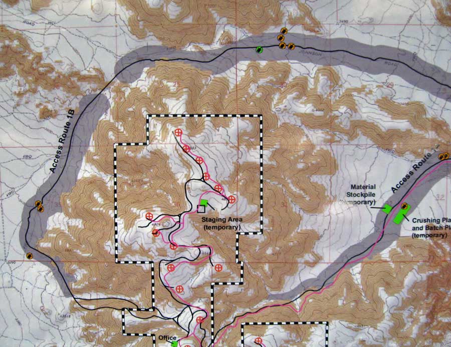
^Part of map showing Desert tortoises and tortoise sign seen along the proposed roads. Tortoises would be moved away from the road during construction activities.
BLM told us the project may be required to do Mojave ground squirrel mitigation if it is found to be in suitable habitat. The project is in suitable habitat we think.
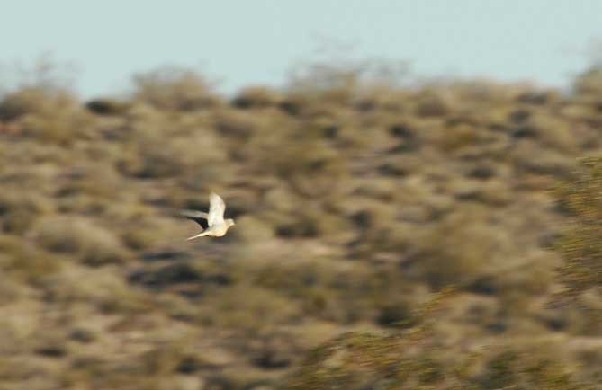
^Mourning dove flying. We asked BLM if they had a plan for mitigation of mortality of birds and bats killed by turbines? They said the applicant had carried out a two-year avian study in 2007 and 2008. We suggested there should be a threshold number of killed birds/bats that triggers the company to shut off turbines at certain times of day or during certain seasons. "Developers don't want to hear this," was the response we got. They prefer "adaptive management" -- meaning deal with the problem later. BLM said a multi-agency "avian protection plan" is being developed, but would not be out until later this year. Even the Wind Programmatic Environmental Impact Statement apparently does not have thresholds for bird mortality.
Birds observed during surveys in the area include Bald eagle, Golden eagle, Ferruginous hawk, Northern harrier, Swainson's hawk, American kestrel, Prairie falcon, Merlin, Sharp-shinned hawk, Cooper's hawk, Red-tailed hawk, Burrowing owl, Great-horned owl, Chukar, Mourning dove, LeConte's thrasher, Bendire's thrasher, California thrasher, American white pelican (large flocks passing over), Horned lark, Northern flicker, Loggerhead shrike, Common raven, Black-chinned hummingbird, White-throated swift, Ladder-backed woodpecker, Ash-throated flycatcher, Willow flycatcher, Northern mockingbird, Yellow-rumped warbler, Wilson's warbler, Yellow warbler, MacGillivray's warbler, Townsend's warbler, Western kingbird, Cassin's kingbird, Barn swallow, Tree swallow, Cliff swallow, Say's phoebe, White-crowned sparrow, Black-throated sparrow, Brewer's sparrow, Savannah sparrow, Lark sparrow, Sage sparrow, Golden-crowned sparrow, Black-chinned sparrow, House wren, Bewick's wren, Rock wren, Cactus wren, Lesser goldfinch, House finch, Dark-eyed junco, Bullock's oriole, Western meadowlark, Black-headed grosbeak, Blue-gray gnatcatcher, and Black-tailed gnatcatcher. Pallid bats and Townsend's big-eared bats were also observed. Burrowing owl sign was found during surveys.
The DEIS (Appendix F, page 21) admits that Turkey vultures migrate over Granite Mountain in large numbers, as in fall, and that "mortality events" are likely to occur. But because the population in the state is said to be stable, nothing will be done.
May Site Visit
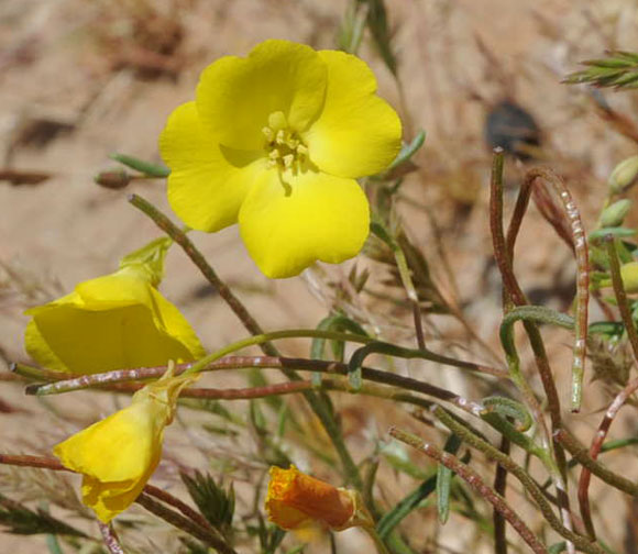
^Mojave suncups (Camissonia campestris).
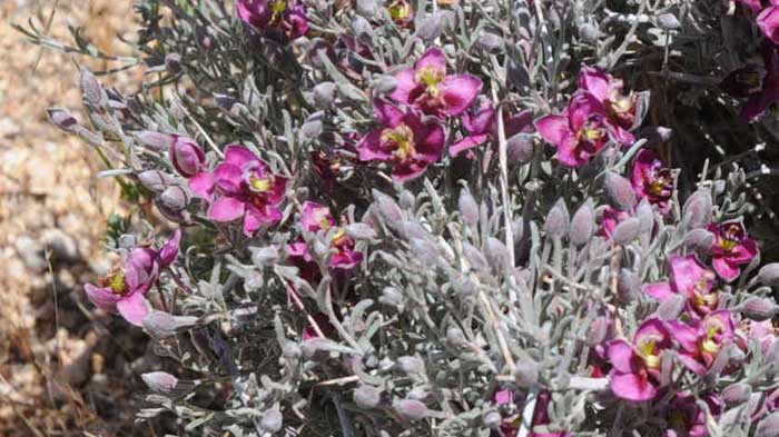
^Rhattany (Krameria sp.) shrub blooming.
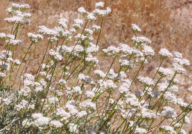
^California buckwheat (Eriogonum fasciculatum) flowering.
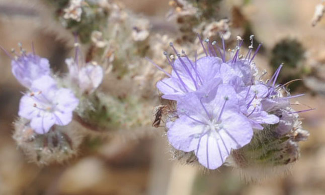
^Lace-leaf phacelia (Phacelia distans).
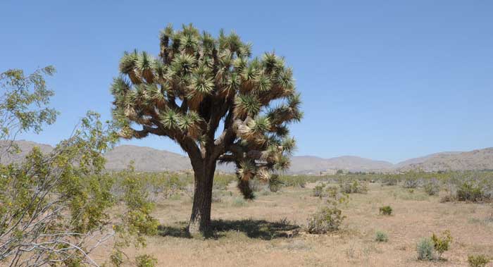
^Joshua tree (Yucca brevifolia) on the western side of Granite Mountains.
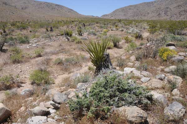
^Wash and pass to the north of the wind project site. Project roads would be expanded through here, which is partly in the Bendire's thrasher Area of Critical Environmental Concern to the north.
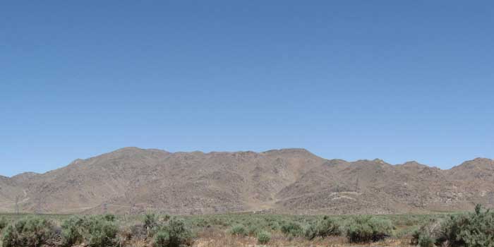
^Granite Mountains from the southeast. A new transmission line would be passed over this area.
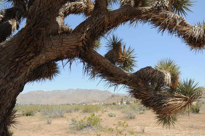
^Joshua tree arching over the ridge where giant turbines would be placed. Apple Valley.
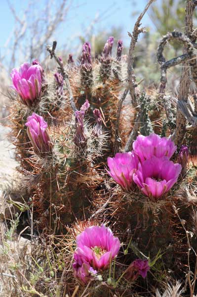
^Calico cactus (Echinocereus engelmannii) blooming.
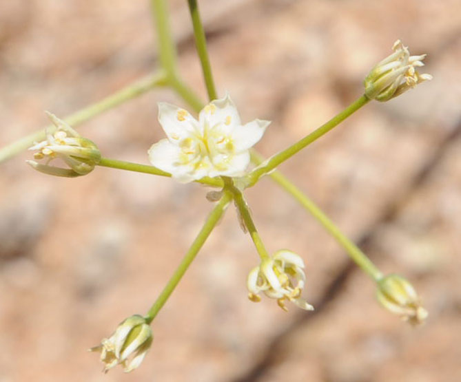
^Desert zygadene (Zygadenus brevibracteatus). Next to the proposed access road.
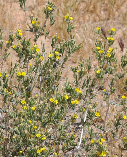
^White-stem stick-leaf (Mentzelia albicaulis).
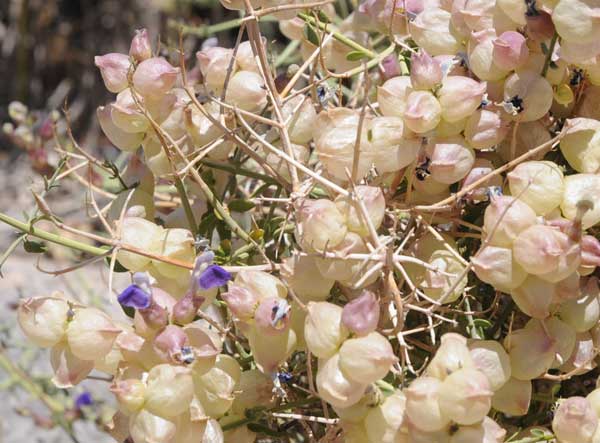
^Paperbag bush (Salazaria mexicana) with puffy seedpods and purple flowers.
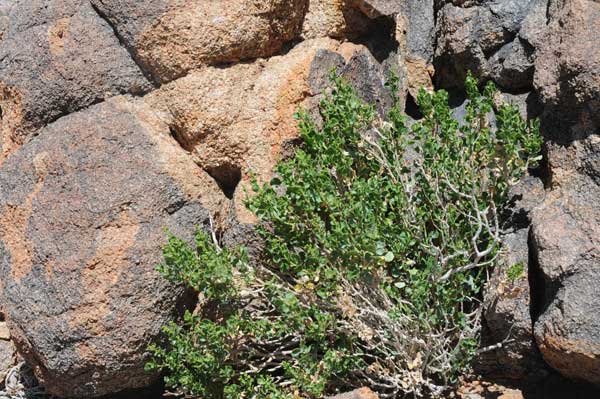
^Cliff goldenbush (Ericameria cuneata) on granite outcrop.
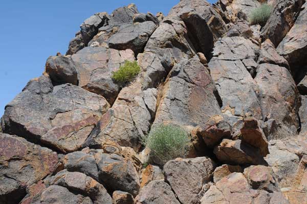
^Colorful decomposing granite.

^Panorama of the playa next to the Granite Mountains. This view would be ruined by 400-foot-tall wind turbines.
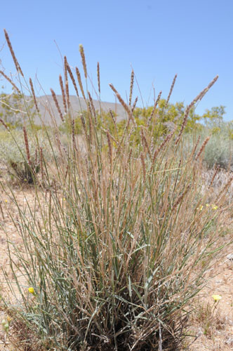
^Big Galleta grass (Pleuraphis rigida) along the proposed access road in an undisturbed valley.
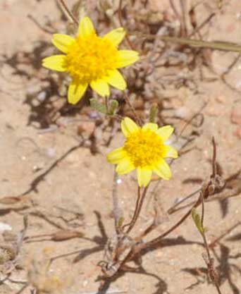
^Goldfields (Lasthenia californica).
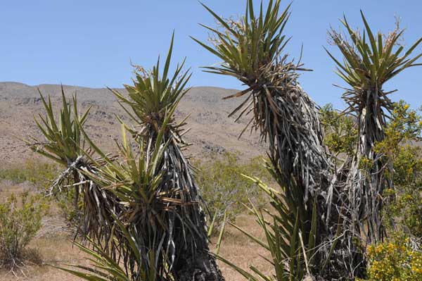
^Mojave yucca (Yucca schidigera) with the Granites in the background.
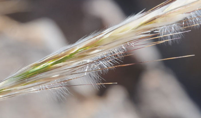
^Desert needlegrass (Achnatherum speciosum).
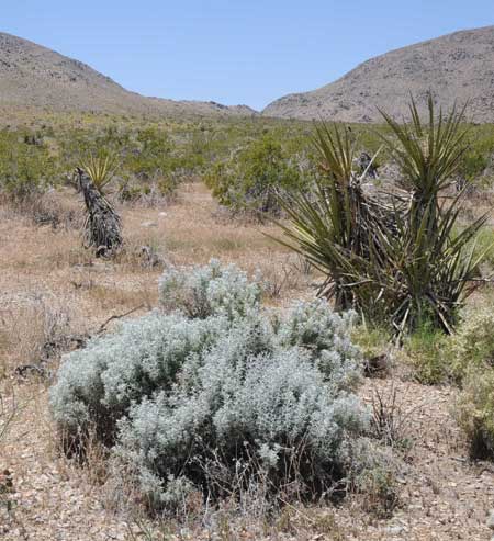
^Cottonthorn (Tetradymia sp.) and Mojave yucca along access road proposal.
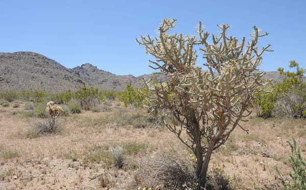
^Pencil cholla (Cylindropuntia ramosissima).
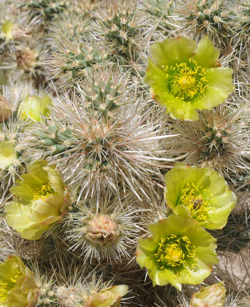
^Silver cholla (Cylindropuntia echinocarpa) flowers.
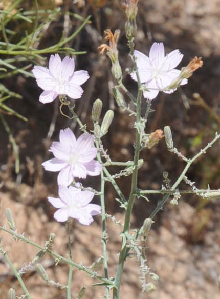
^Desert lettuce (Stephanomeria sp.).
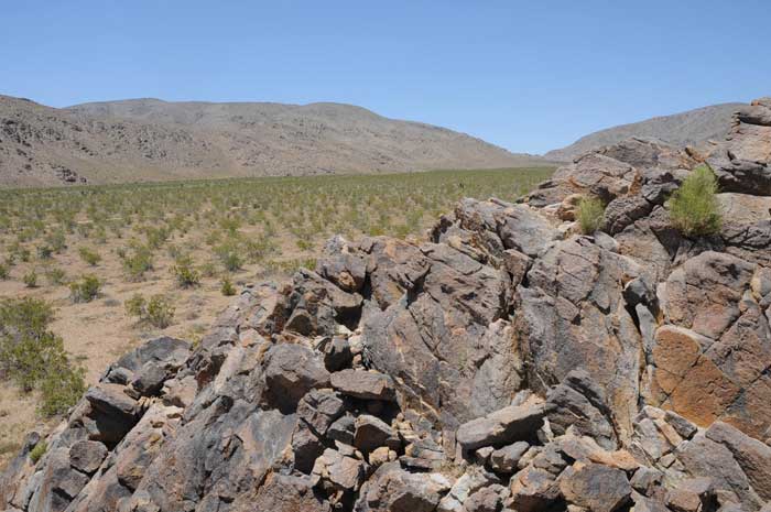
^View looking up the pass where a road will be widened. Turbines would be placed along the ridge.
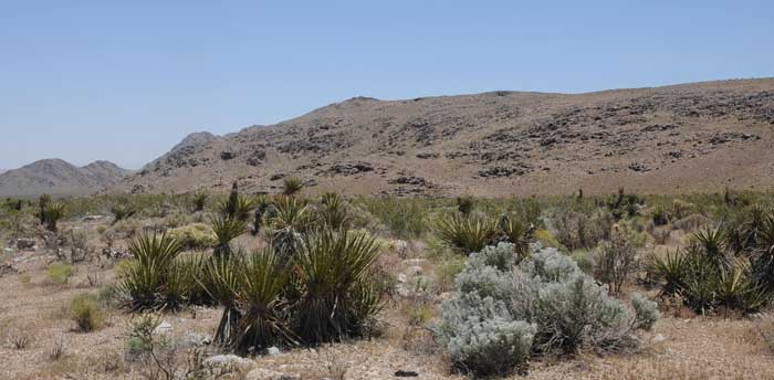
^Natural area would have new roads, lay-down areas, and construction equipment,
Ford's Indra Swallowtail
Ford's indra swallowtail (Papilio indra fordi) breeds in the Granite Mountains, and its host plant Panamint cymopterus (Cymopterus panamintensis) grows on rocky outcrops. This butterfly is not a protected species, but is rare. It has a very limited distribution in southern California.
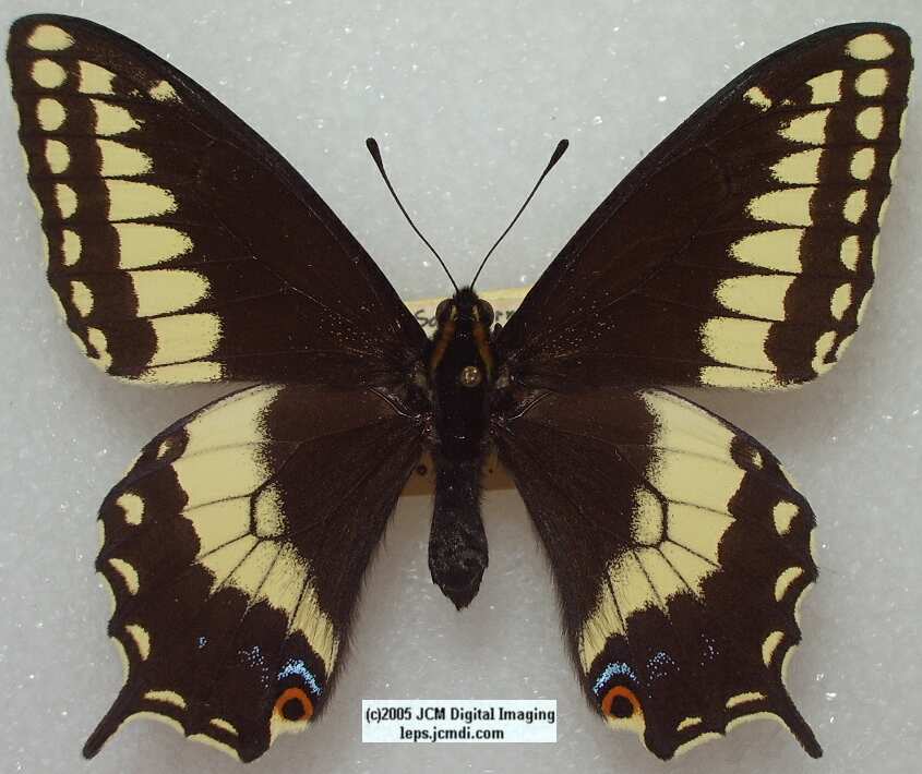
From http://lepidoptera.jcmdi.com/b/pap/fordi/fordip.html
See this video of host plants, eggs and caterpillars on the Granite Mountains >>here.
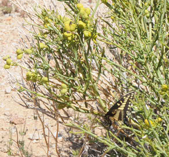
^We found this Anise swallowtail, a common butterfly in the area, on Turpentine-broom (Thamnosma montana) along the proposed new access road. The Ford's Indra swallowtail is darker in color.
Wildlife Connectivity
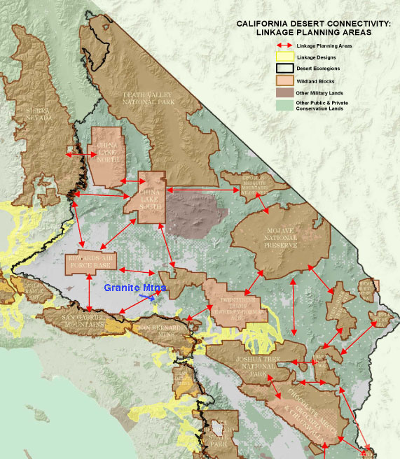
The Granite Mountains figure as an essential linkage in South Coast Wildlands desert planning. The entire San Bernardino-Granite Mountains Linkage Design at www.scwildlands.org. The San Bernardino Mountains-Granite Mountains is one of 15 priority linkages connecting large blocks of wildlands in the desert. The San Bernardino-Granite Mountains Connection needs protection, as it is crucial to maintaining ecological and evolutionary processes among large blocks of protected habitat within the South Coast
Ecoregion.
From the South Coast Missing Linkages Project:
Ecological Significance of the San Bernardino-Granite Mountains Connection
The San Bernardino-Granite Mountains Connection occurs in a transition zone between the South Coast and the Mojave Desert ecoregions, linking the San Bernardino Mountains to the inland desert ranges of the Granite, Ord and Rodman mountains. As such, the planning area encompasses both coastal and desert habitat types. The northern flank of the San Bernardino Mountains are steep, with forested habitats at higher elevations, juniper woodlands on the slopes, giving way to creosote bush scrub
with scattered Joshua trees and a diversity of cactus at lower elevations. A rich riparian community occurs in Grapevine Canyon in the San Bernardino Mountains that shifts into desert wash habitat as it flows through Fifteenmile Valley towards Rabbit Lake at the base of the Granite Mountains. An extremely rare alkali seep plant community occurs at Rabbit Springs that supports two imperiled plant species, salt spring checkerbloom (Sidalcea neomexicana) and Parish's alkali grass (Puccinellia parishil). Creosote bush scrub, sagebrush and saltbush scrub communities dominate the jagged hills and sloping bajadas of the desert ranges. This variety of coastal and desert habitats support a diversity of organisms, including
many species listed as endangered, threatened, or sensitive by government agencies.
A number of rare species depend on the area's riparian habitats, which provide breeding locations for
many riparian birds and critical watering areas for Nelson's bighorn sheep (Ovis canadensis nelsoni). The Environmental Impact Report and Statement for the West Mojave Plan reinforced the importance of this connection to enhance dispersal opportunities for bighorn sheep. Several riparian songbirds, such as
summer tanager (Piranga rubra), gray vireo (Vireo viciniori) and yellow-breasted chat (Icteria virens) have the potential to occur, as do a number of sensitive upland bird species such as the LeConte's thrasher (Toxostoma tecontei); and Bendire's thrasher (T. benderei). Sensitive reptiles that prefer drier habitats and sparser vegetative cover, such as the threatened desert tortoise (Gopherus agassizii),
rosy boa (Lichanura trivirgata), and coast horned lizard (Phrynosoma coronatum blainvillei), also have the potential to occur. Desert tortoises have been documented in the linkage, and they occur along the northern base of the San Bernardino Mountains, and in the Desert Tortoise Wildlife Management Area. Historical records for the Mojave ground squirrel (Xerospermophilus mohavensis) also occur in both Apple Valley and Lucerne Valley). The planning area also provides habitat for a number of sensitive bat species, such as the pale big-eared bat (Corynorhinus townsendii pallescens) and long-eared myotis (Myotis evotis).
In addition to providing habitat for rare and endangered species, the linkage provides live-in and move-through habitat for numerous native species such as Nelson's bighorn sheep and American badger, that may be less extinction prone but that nevertheless require extensive wildlands to thrive.
Existing Conservation Investments
Significant conservation investments already exist in the region, but the resource values they support could be irreparably harmed by loss of connections between them. The US Forest Service administers the majority of land in the San Bernardino Mountains, while BLM manages Grapevine Canyon National Recreation Lands and the Bighorn Mountain and Whitewater River National Recreation Lands in the San
Bernardino Mountains and most of the targeted ranges in the desert. Some of the land in the eastern portion of the linkage has already been protected though successful conservation planning efforts undertaken by USFS, BLM, State Lands Commission, and California Department of Fish and Game, although gaps in protection remain. Several specially designated conservation areas have been established in the planning area to protect threatened, endangered and sensitive species and natural communities. To protect ancient plant species, Soggy Dry Lake Creosote Rings and the Upper Johnson Valley Yucca Rings have been designated as Areas of Critical Environmental Concern and the King Clone Ecological Reserve has been created. The Desert Tortoise Conservation Area encompasses most of the core areas targeted in the desert. Another conservation area has been established just north of Lucerne Valley in the Brisbane Valley to protect the Mojave monkeyflower (Mimulus mohavensis). And a
conservation area for carbonate endemic plants has been designated in the foothills of the San Bernardino Mountains to protect this rare and endangered plant community, as well as habitat for gray vireo and bighorn sheep. The value of already protected land in the region for biodiversity conservation, environmental education, outdoor recreation, and scenic beauty is immense.
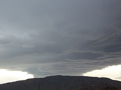
^Storm over the Granite Mountains. (Photo by Dennis Morrison)
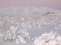
^Snow blankets the area. (Photo by Dennis Morrison)
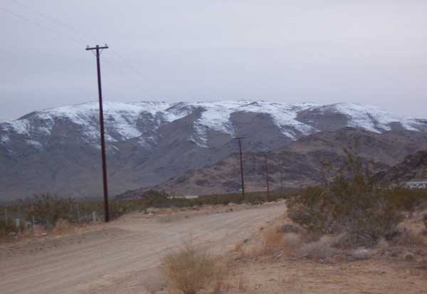
^Winter on the ridge. (Photo by Dennis Morrison)
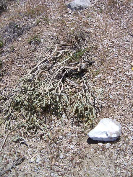
^A helicopter for surveying landed on the mountain and crushed this cholla cactus, as well as leaving white-painted stones. (Photo by Dennis Morrison)
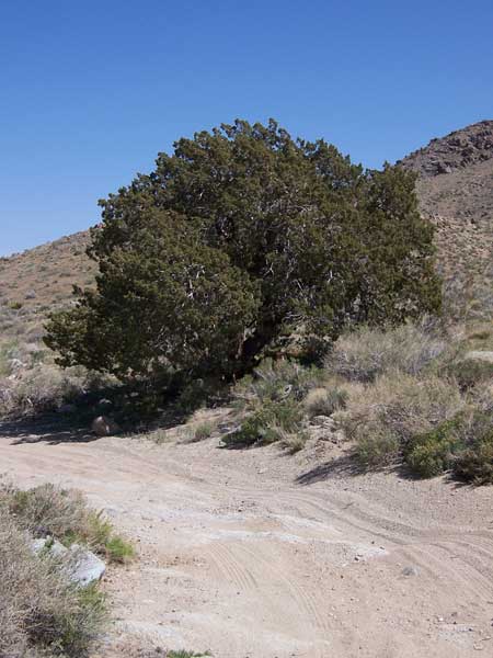
^This ancient juniper, rare in the area, is in the line of a potential access road around the northern end of the project area. See the photo below to get an idea of how wide the road will have to be. (Photo by Dennis Morrison)
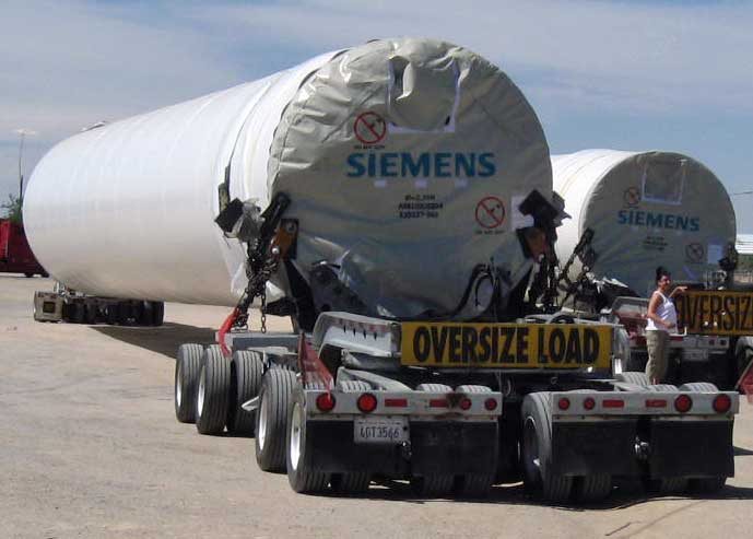
^Trucks transporting sections of a wind turbine tower.
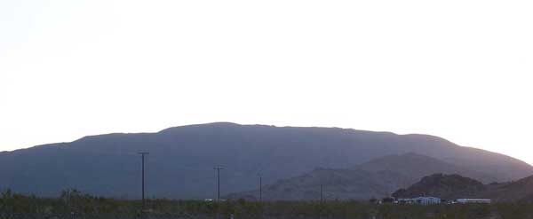
^Granite ridgeline in rural area. (Photo by Dennis Morrison)
